Metaverse Bappenas
An immersive 3D WebGIS for national planning.
Visit live site- Role
- Full-stack & geospatial developer
- Period
- 2023–2024
- Register
- Geospatial
- Locus
- 06°10′S 106°49′E
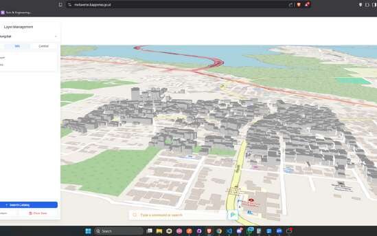
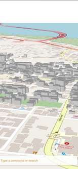
A WebGIS platform showing Indonesia in 2D and 3D, with switchable basemaps, thematic layers from a catalogue, an RBAC admin, and CKAN / GeoNetwork syncing.
Bappenas needed planning geography you can explore as a 3D scene, not just static maps, with governed access and a catalogue kept in sync with existing open-data infrastructure.
- 01
Rendered large geospatial scenes in the browser with Deck.gl over MapLibre for smooth 2D and 3D visualization.
- 02
Built the app on a TypeScript Remix and Express stack, with Drizzle ORM over PostgreSQL and MinIO for object storage.
- 03
Added an RBAC admin to manage data, plus metadata integration that syncs with CKAN and GeoNetwork.
An immersive, access-controlled 3D geospatial portal wired into the organisation's open-data catalogue.
- TypeScript
- Remix
- Deck.gl
- MapLibre
- Express
- PostgreSQL
- MinIO